Student developers’ new app driven by desire to improve public safety

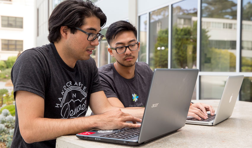
Computer science majors Matthew Serna, left, and Kevin Lay say they and their hackathon teammates wanted to design an app focused on safety and beneficial to the public.
Computer science majors build ‘SafeZone’ app at recent San Francisco hackathon
SF State computer science students Kevin Lay and Matthew Serna were working with friends at a San Francisco “hackathon” to design a social networking app that would allow users to locate nearby friends. Both found motivation hard to come by. The reason? Altruism. They wanted to build something more impactful and beneficial to the public.
The hackathon was held on the anniversary of 9/11, and Lay said public safety and security were key issues the team wanted to address with their new app.
“That was a big deal to us,” he said. “We wanted people to feel safe where they are, so we rolled with it.”
The app is called SafeZone, and it’s designed to guide users to safety as quickly as possible in the event of an emergency or other unsafe situation, such as being followed or getting lost in an unfamiliar neighborhood. Developed during the TechCrunch SF Disrupt Hackathon, it combines a simple, one-button interface with data from MapQuest to allow the user to find the safest route to the nearest police station or hospital.
Lay, Serna and their three teammates built SafeZone over the course of just a few late-night hours after scrapping a previous version. They said the original idea for a new social platform informed their development of the app.
“We wanted to stick with the same concept but we wanted to make it more about how to help during crisis situations or events when you need help right away,” said Serna.
Simplicity was key. The team used MapQuest data to manually input the locations of safe zones in San Francisco. Because they wanted to ensure that users would be able to find the nearest safe location and get directions as quickly as possible, the app is designed so only one tap is needed for it to work.
They plan to release the app soon for Android and eventually create iPhone and Windows phone versions, as well. Its functionality is limited to San Francisco for now, but other locations could be added down the line. They also hope to add additional social features, such as the option to send a tweet or SMS message in the event of an emergency.
“When the button’s pressed, we definitely want to alert some local authority in some way,” Lay said.
To learn more about SF State’s Department of Computer Science, visit cs.sfsu.edu.